
Open-Field Topographic Survey
Topographic survey fieldwork across open agricultural land, with tripod-mounted total stations, roadside discussions, and an on-site drawing review around a laptop.
View project photos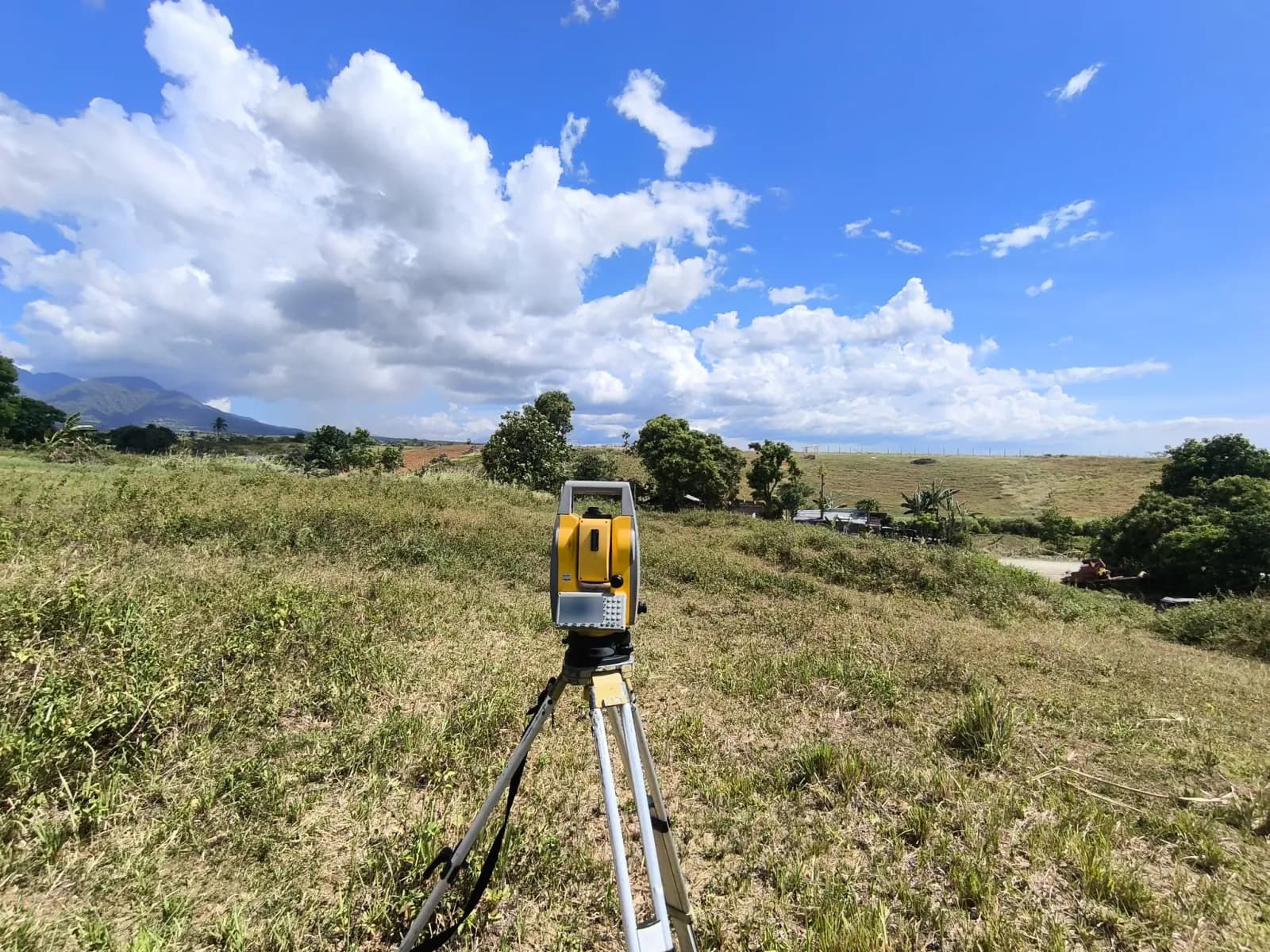
The Project Story
Mapping the Shape of the Ground
A topographic survey records the elevations and physical features of a site, helping engineers and designers understand the terrain before planning buildings, access roads, drainage, or other improvements.
These six photographs document topographic survey fieldwork in an open agricultural setting. They bring together instrument setups, roadside discussions, and a drawing review during the site visit.
Total-Station Setups across the Fields
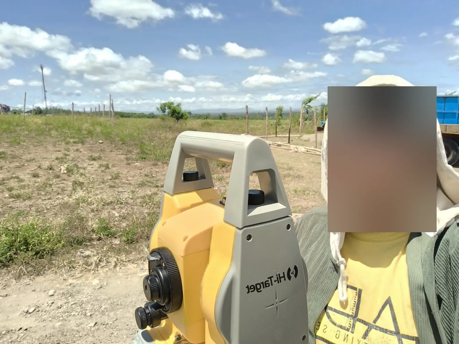
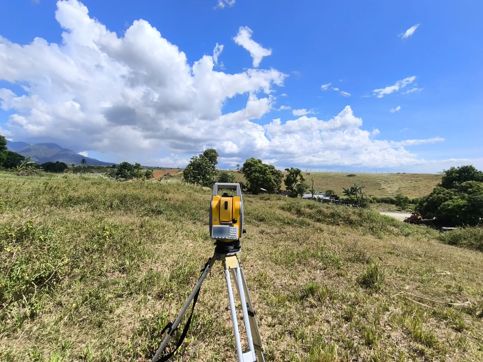
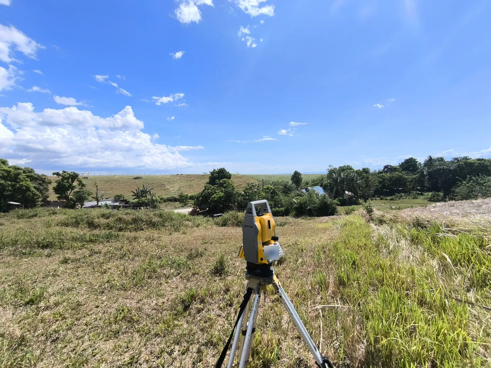
The close-up photograph shows a person beside a total station, with fence posts, patchy grass, and a blue truck behind them. Two wider photographs show the instrument on a tripod overlooking grassy slopes, trees, nearby roofs, and surrounding fields.
A total station measures angles and distances during survey fieldwork. The wider views show the ground around the instrument, including taller grass along one edge and a mountain ridge in the distance.
Site Discussion and Drawing Review
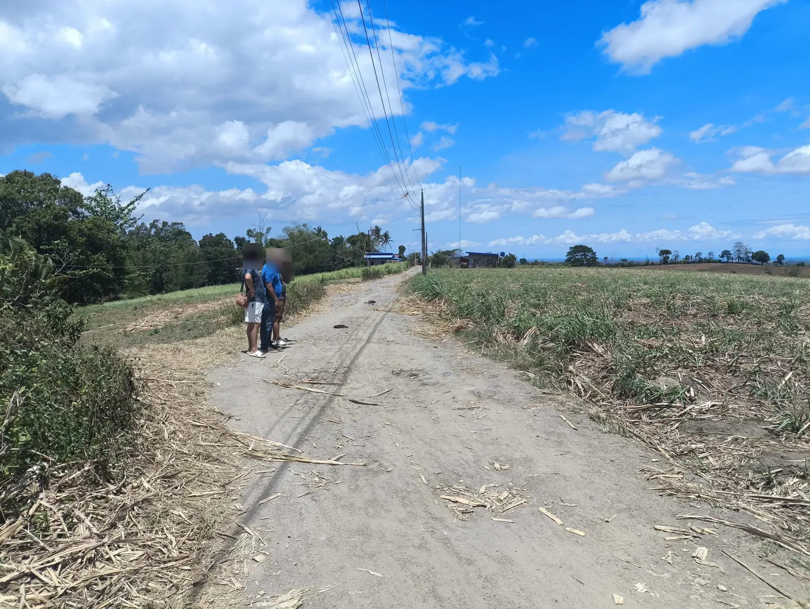
The roadside photographs show three people discussing the site beside a narrow road between fields. Utility poles, overhead lines, trees, and small buildings provide context for the surrounding landscape.
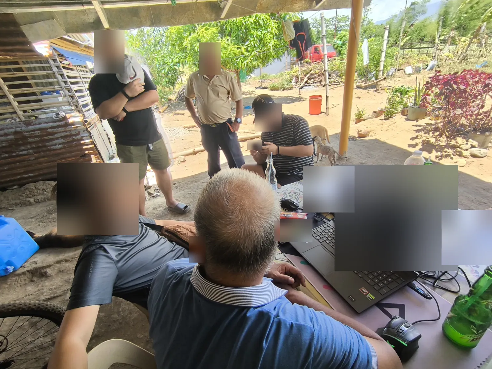
Another photograph shows a group gathered around a laptop displaying a technical drawing, with paper records on the table under a shelter. The gallery documents fieldwork and review, rather than a final contour map or confirmed design outcome.
Project Photographs
6 photographs from this project. Select a photograph to view the full image in a new tab.

Need a Topographic Survey?
Looking for a land surveyor in Negros Occidental or Negros Oriental? Tell us where your property is and which documents you have available. We will help you understand the next steps.
Request a survey quote