
Hillside Subdivision Survey
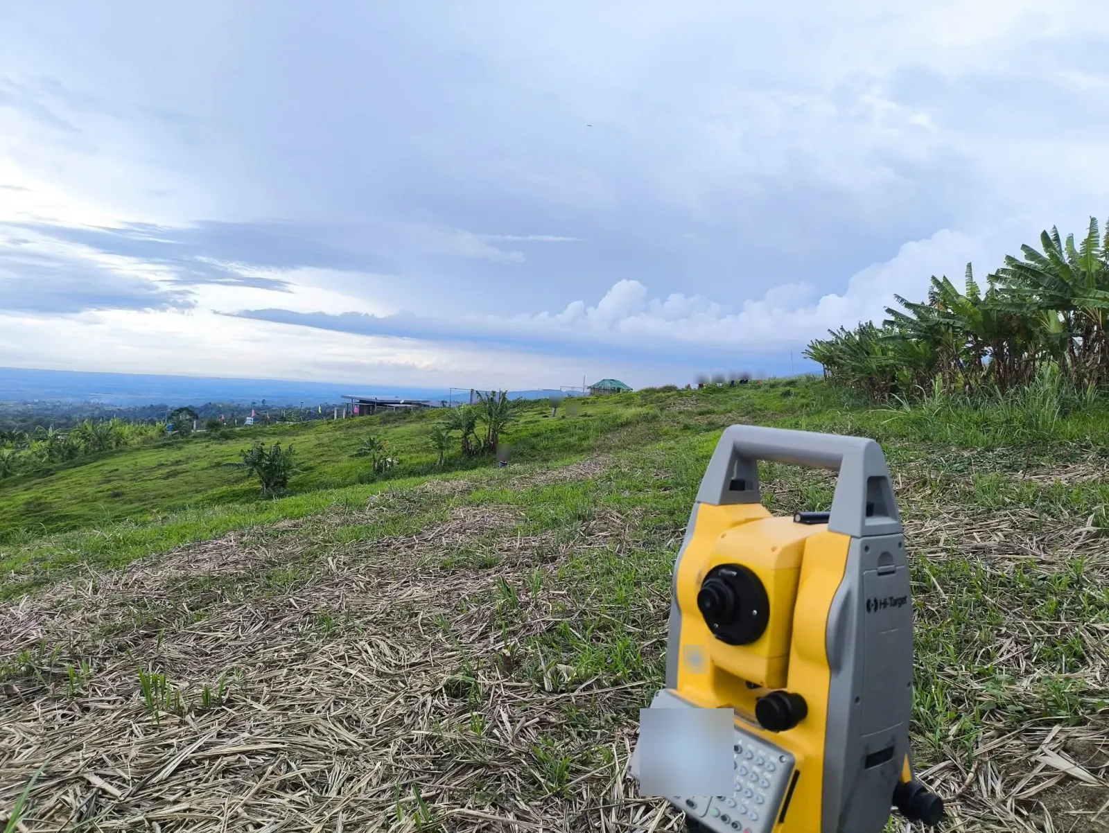
Subdivision survey fieldwork on a green hillside, with a total-station setup, banana plants, grassy slopes, views across surrounding fields, and a roadside discussion.
View project photos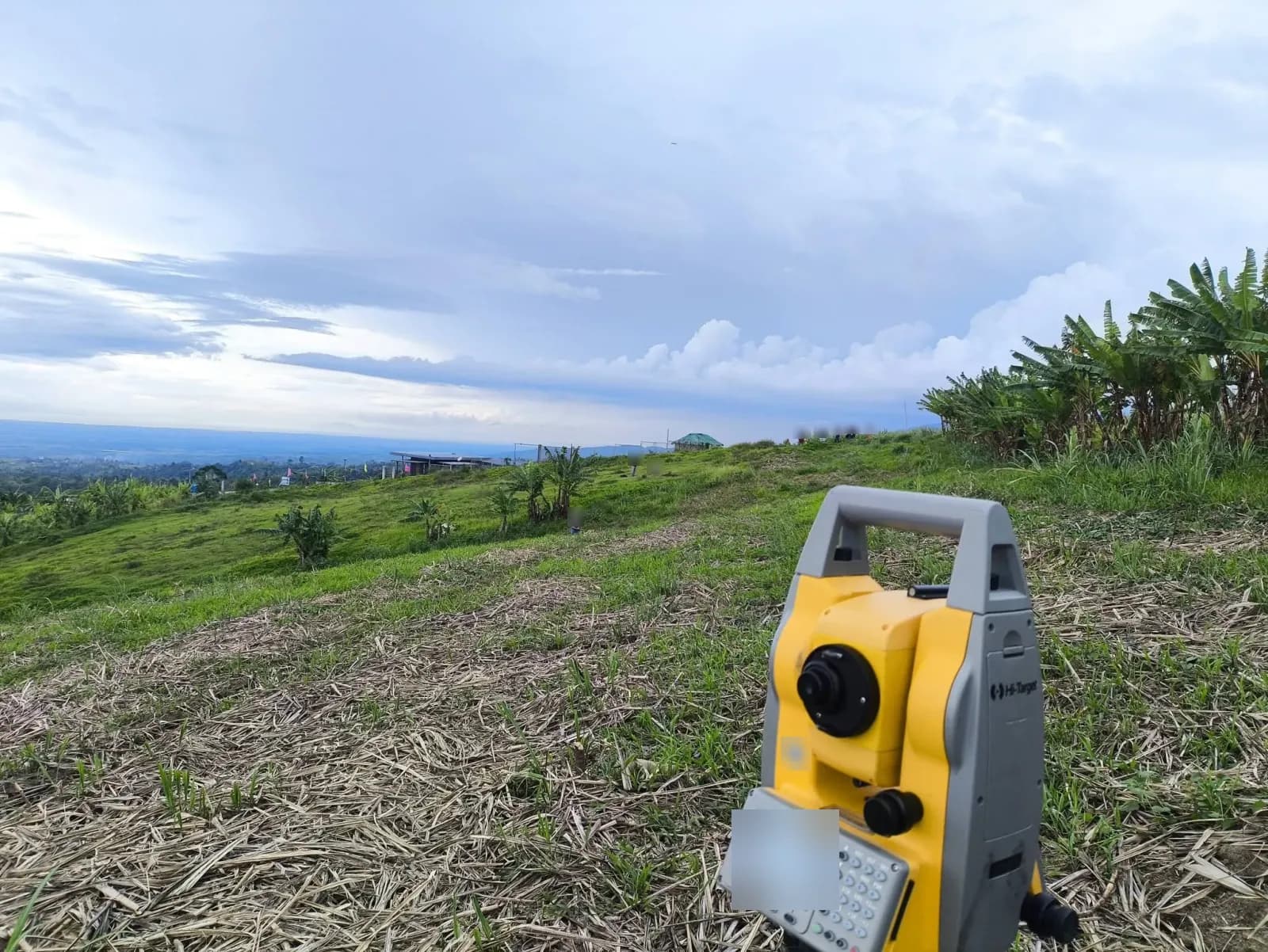
The Project Story
Subdivision Survey Fieldwork on a Hillside
A subdivision survey divides a single parcel of land into smaller lots, using field measurements and a survey plan to define the proposed divisions. It supports the documentation needed for land division and separate titles.
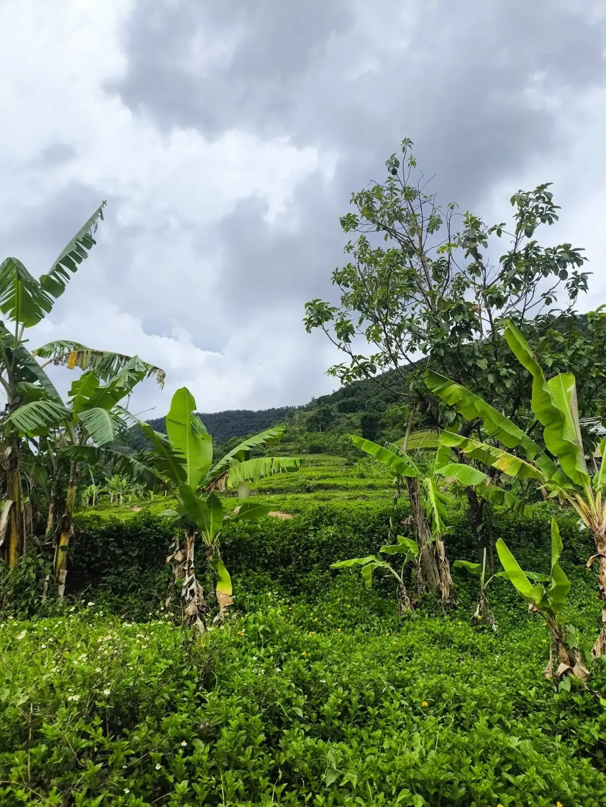
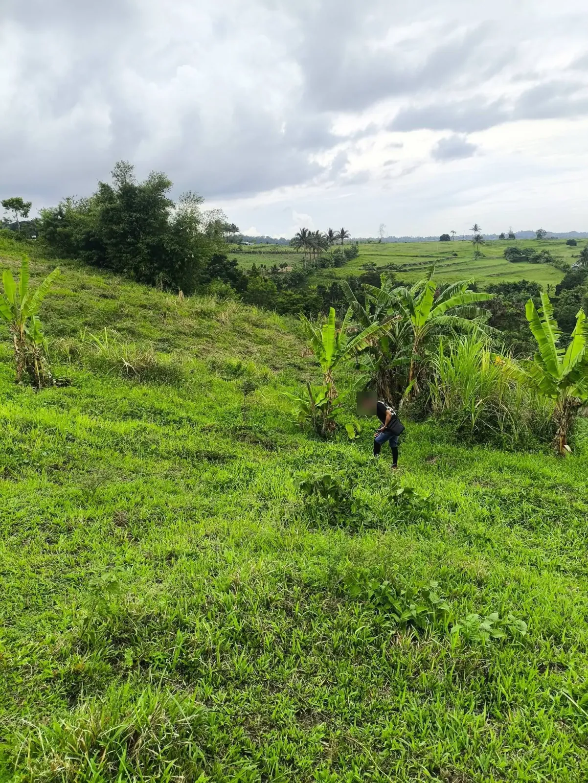
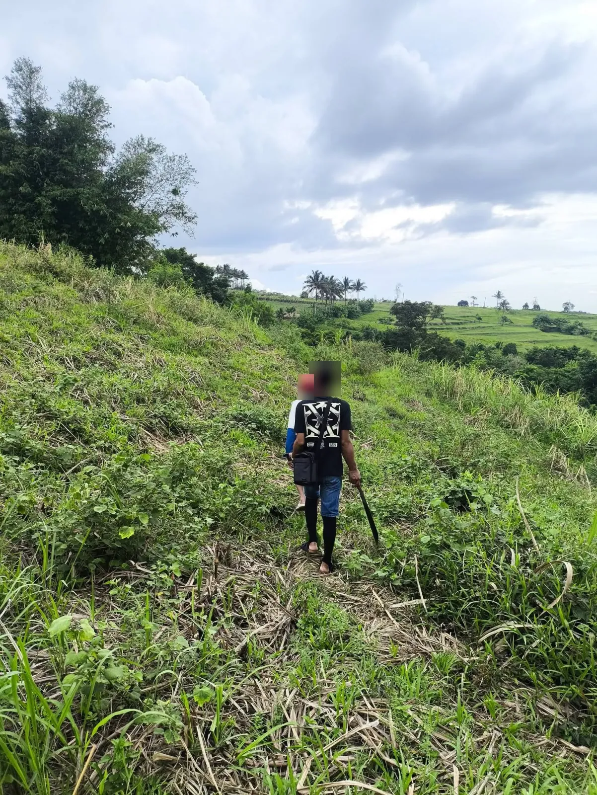
This project brings together six photographs of subdivision survey fieldwork on a green hillside. Banana plants, dense ground cover, and views across surrounding fields show the setting around the survey work.
Working across Sloping Ground
The instrument photograph shows a total station overlooking the hillside, with people spread across the grass and banana plants along the upper edge. A total station measures angles and distances during survey fieldwork.
Other views follow people crossing a grassy slope and walking along a narrow track through cut vegetation. Together, these photographs show the equipment and ground conditions, rather than a final lot layout or plan approval.
Roadside Views and Site Discussion
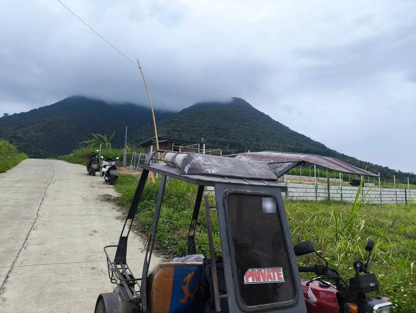
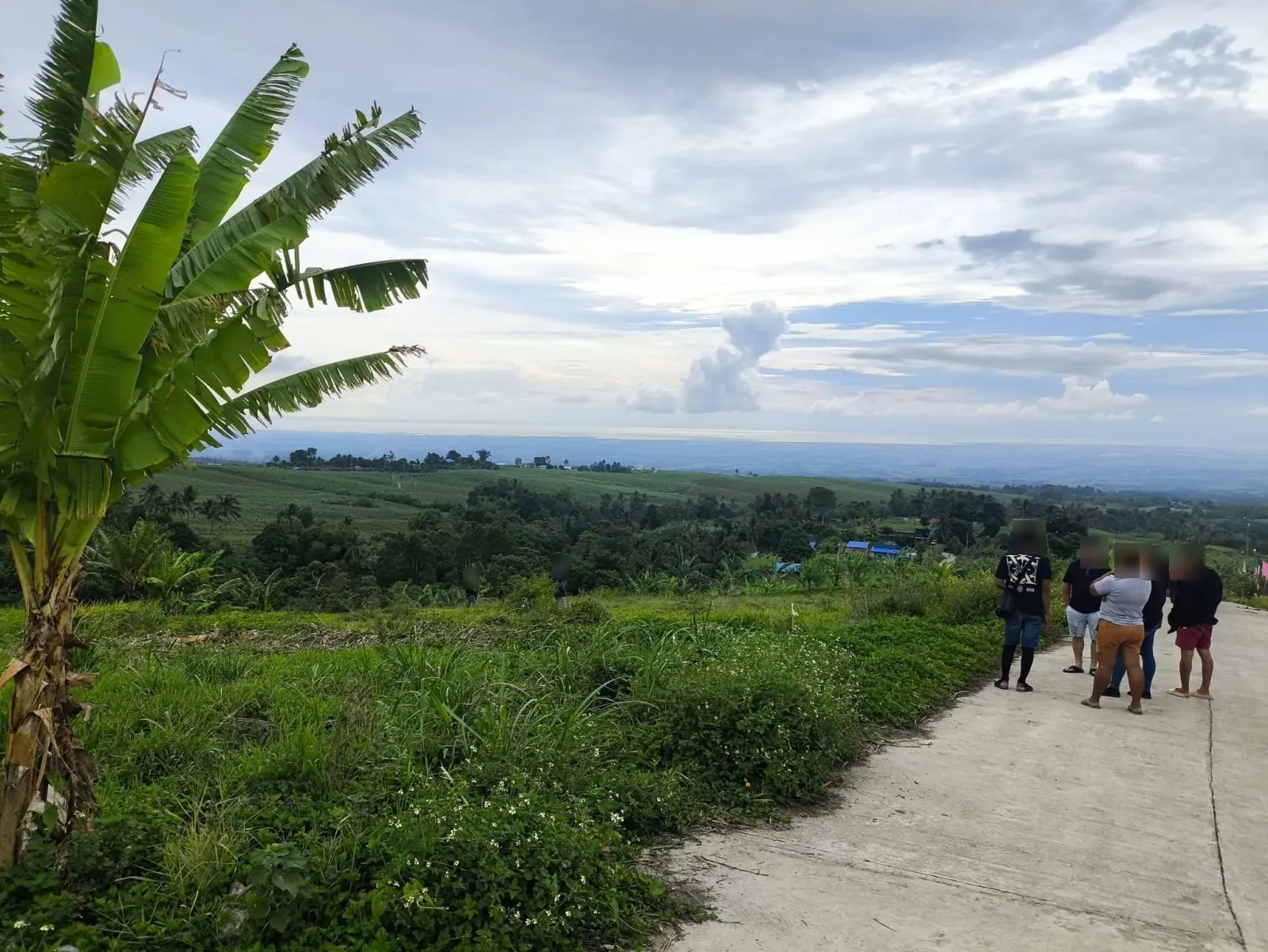
One photograph looks along a concrete road past parked motorcycles and a tricycle, with low clouds covering a wooded ridge. The final photograph shows a small group talking beside the road, overlooking fields, trees, and scattered buildings below.
These wider views add context to the close-up fieldwork photographs, showing the surrounding landscape and the places where people gathered during the site visit.
Project Photographs
6 photographs from this project. Select a photograph to view the full image in a new tab.
Need a Subdivision Survey?
Looking for a land surveyor in Negros Occidental or Negros Oriental? Tell us where your property is and which documents you have available. We will help you understand the next steps.
Request a survey quote