
Farmland Topographic Survey
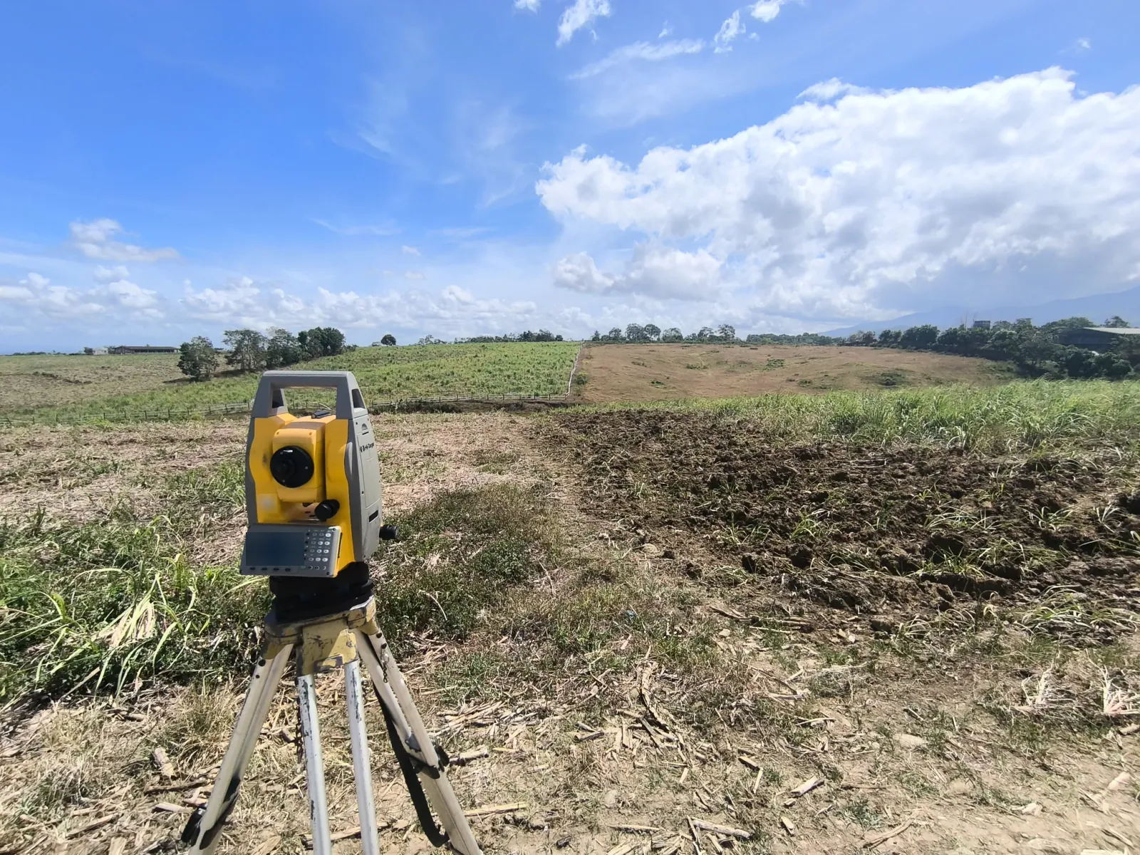
Topographic survey fieldwork across cultivated land and vegetated slopes, with roadside total-station setups, an on-site discussion, and views into a lower green field.
View project photos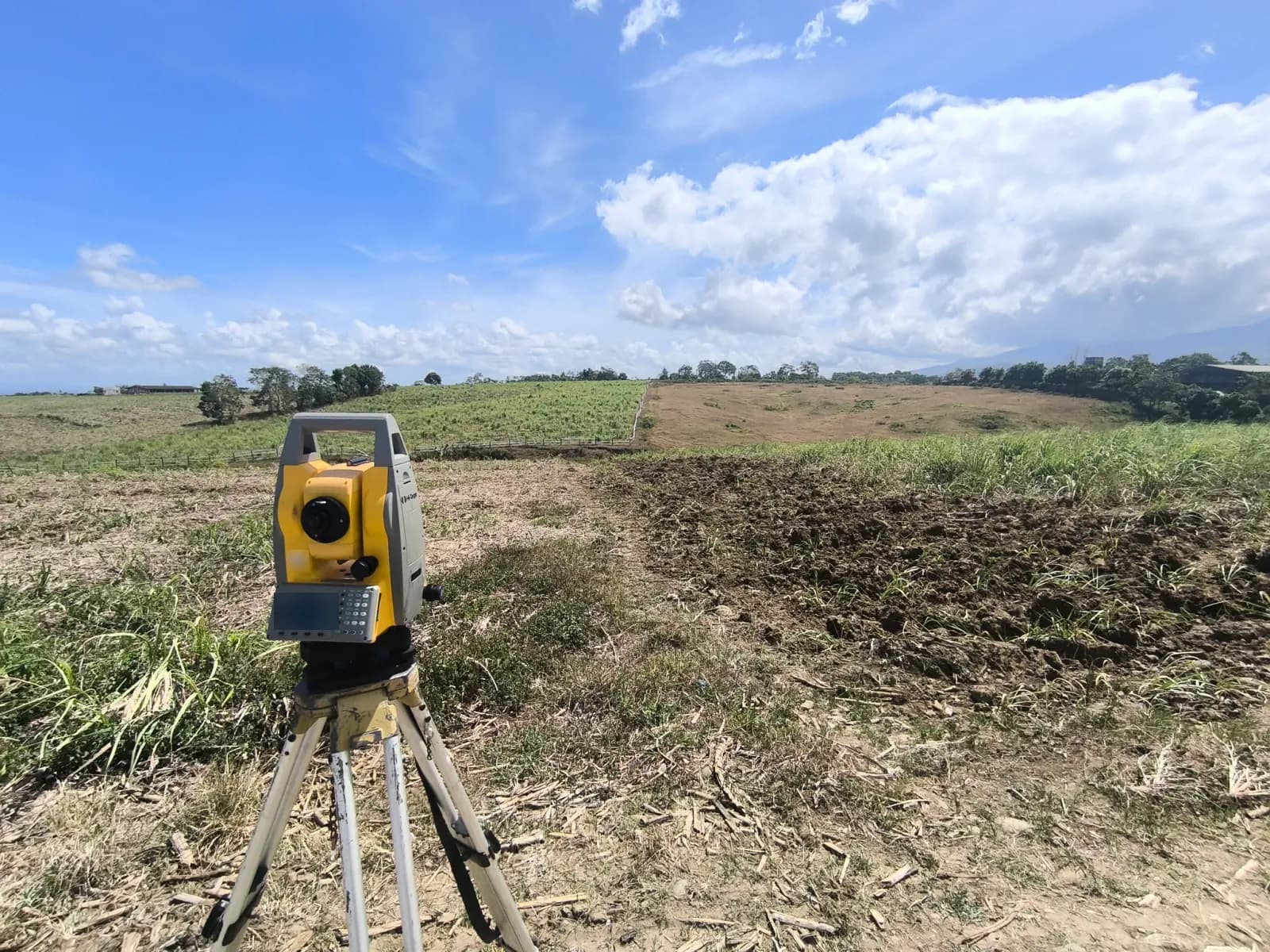
The Project Story
Understanding the Terrain across Farmland
A topographic survey records ground elevations and physical features to describe the shape of a site. This information helps engineers and designers plan access, drainage, buildings, and other improvements around the existing terrain.
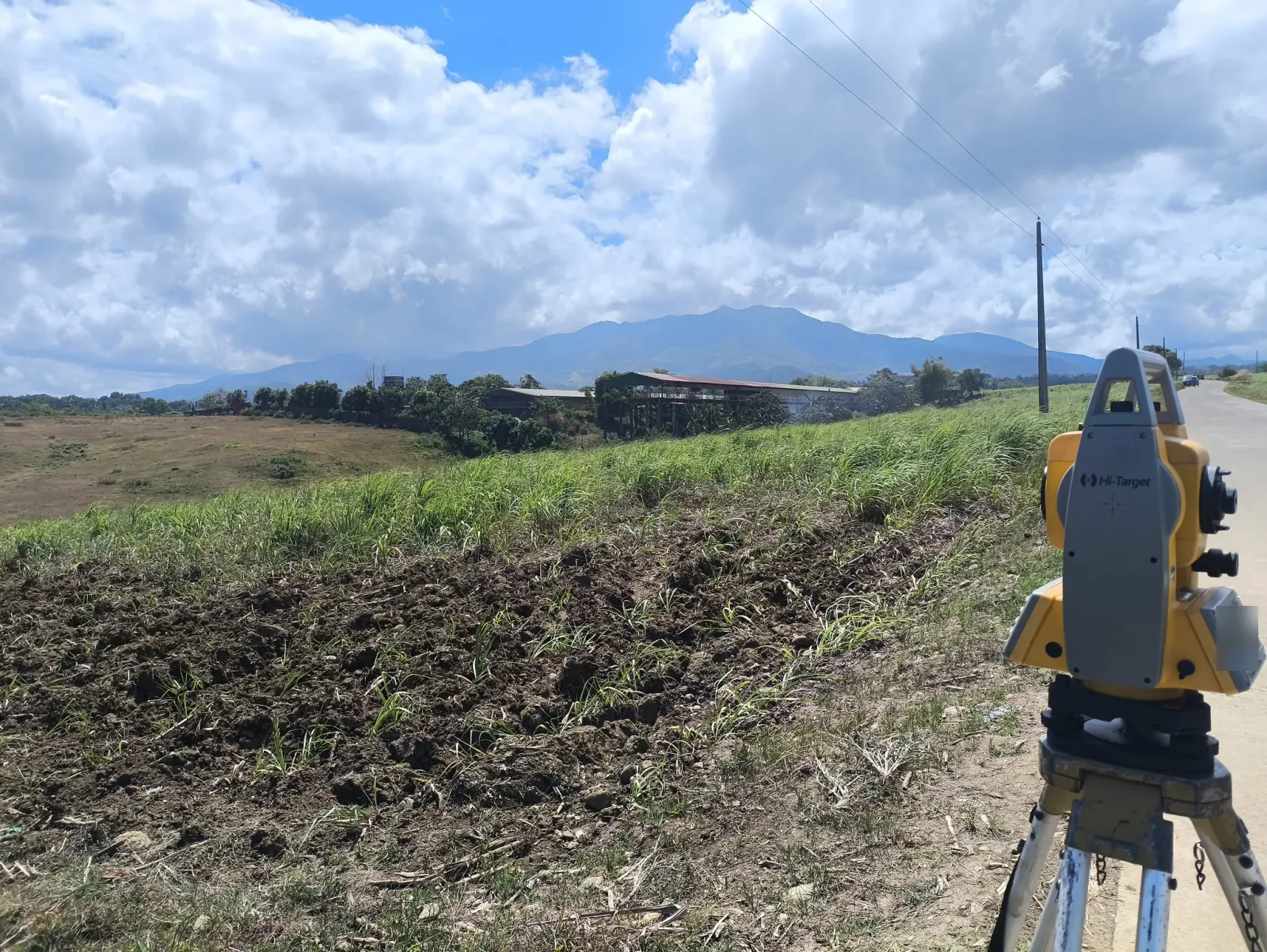
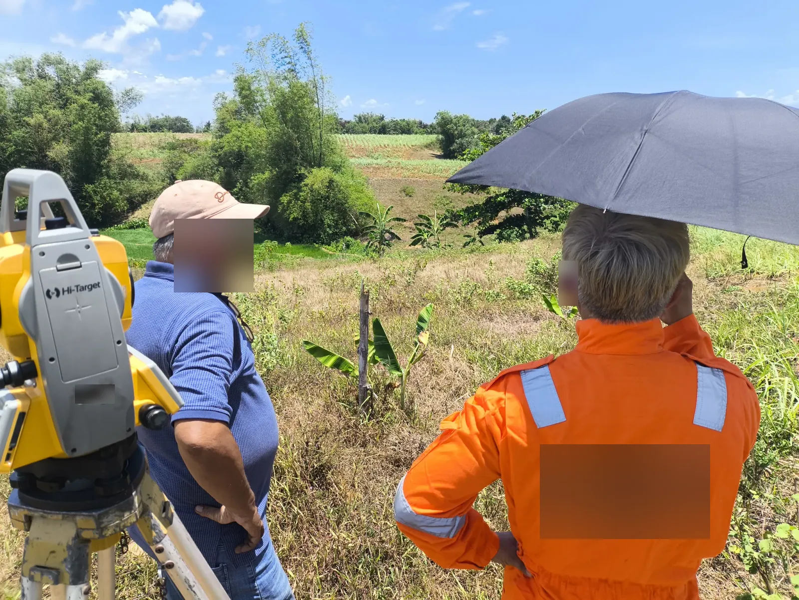
These six photographs show topographic survey fieldwork across cultivated fields and densely vegetated slopes. Instrument setups and an on-site discussion provide a view of the terrain around the survey work.
Instrument Setups beside the Fields
The first photograph shows a tripod-mounted total station beside tilled soil and cropped fields, with a low fence crossing the middle distance. A second view places the instrument beside a paved road, with utility poles, a long roofed structure, and a mountain ridge beyond the fields.
Another photograph shows two people beside the instrument overlooking the sloping land, with one holding an umbrella. Banana plants, bamboo, and patches of cultivated ground show the mix of vegetation around this part of the site.
Looking into the Lower Ground
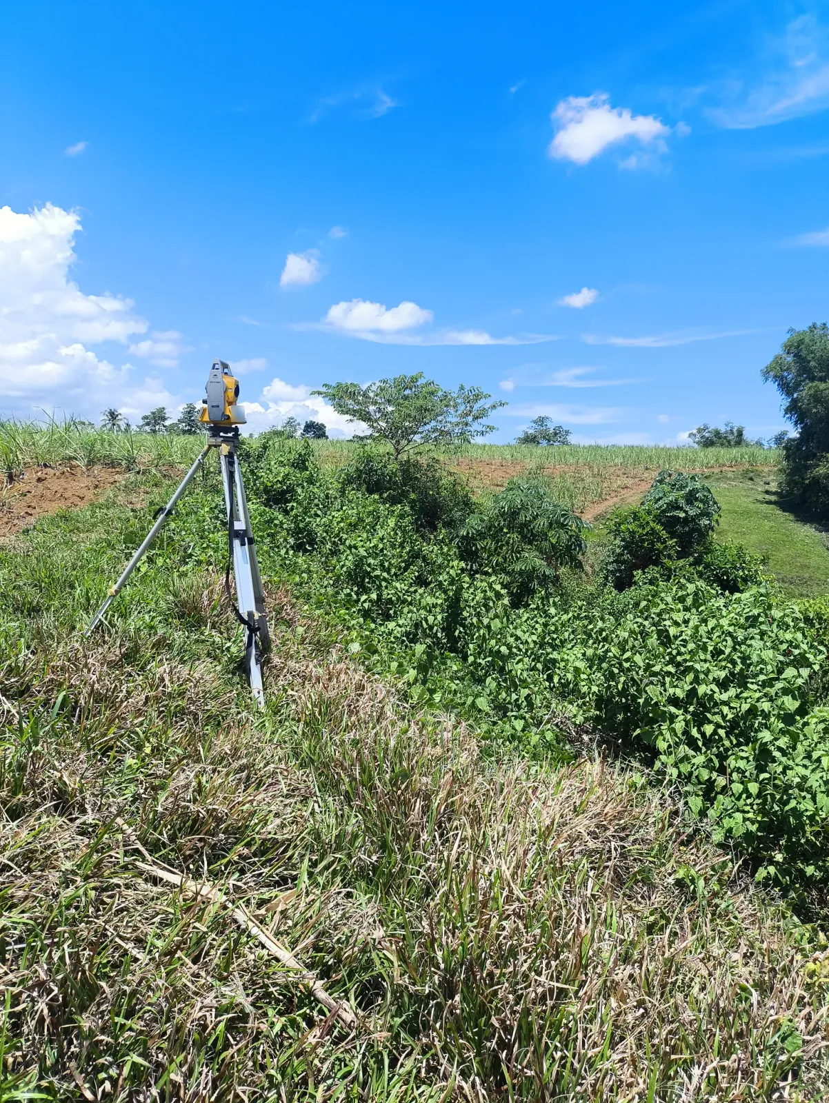
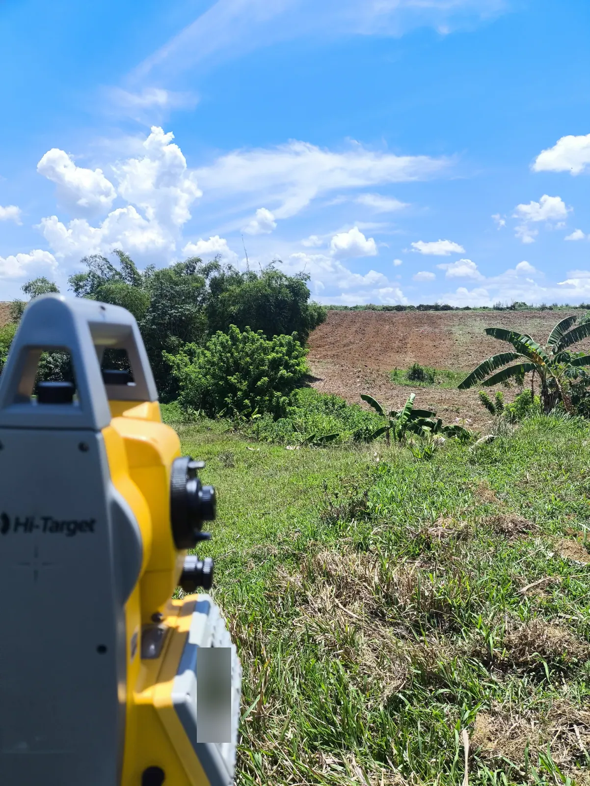
The portrait photographs show the total station beside thick ground cover and a grassy dip below cultivated slopes. A closer view looks past the instrument toward banana plants, bamboo, and a broad area of exposed soil farther uphill.
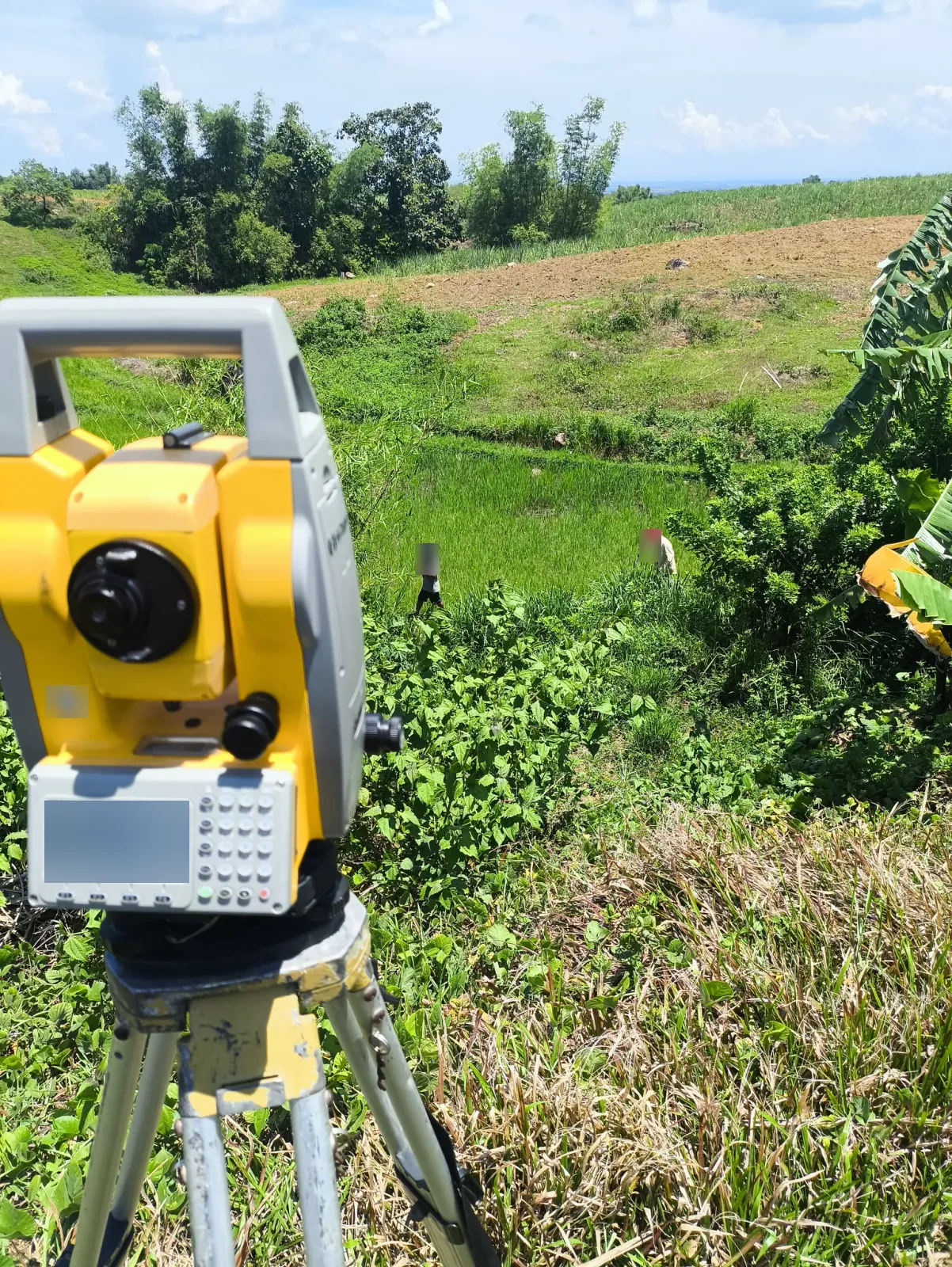
The final photograph looks down toward a vivid green field, with two people among the vegetation below the instrument. Together, these views document fieldwork across changing ground levels, without presenting a final contour map or confirmed design outcome.
Project Photographs
6 photographs from this project. Select a photograph to view the full image in a new tab.
Need a Topographic Survey?
Looking for a land surveyor in Negros Occidental or Negros Oriental? Tell us where your property is and which documents you have available. We will help you understand the next steps.
Request a survey quote